Surveying & Mapping
Sophisticated & State of the Art
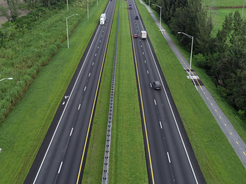
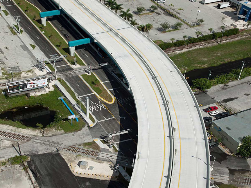
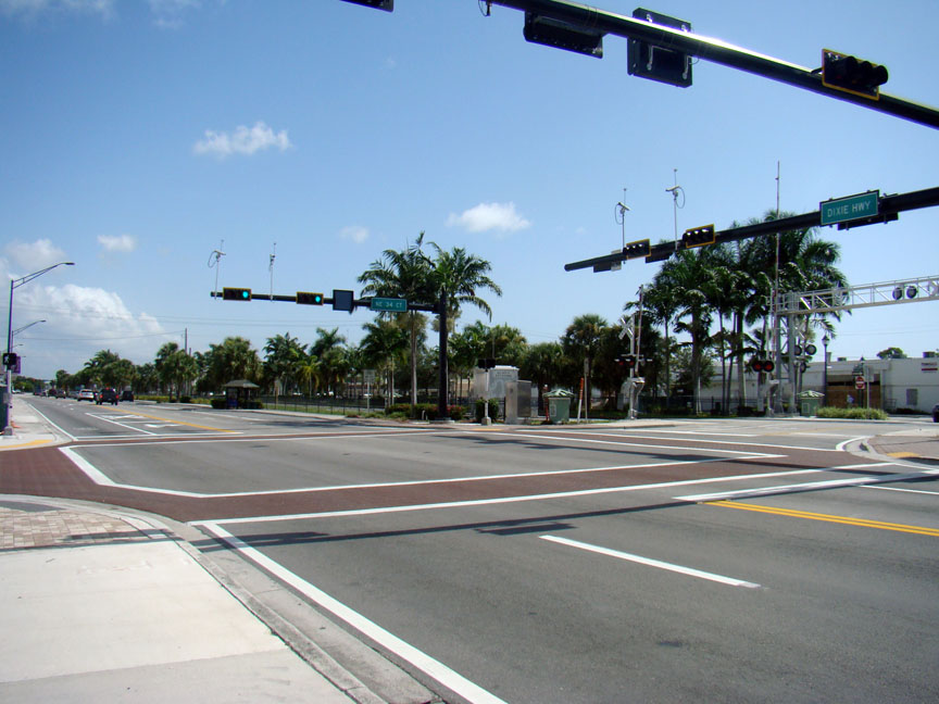
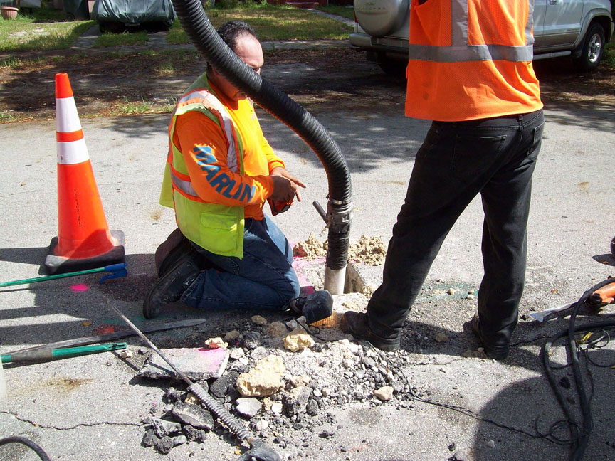
From field surveys and data collection to utility locations, MARLIN recognizes the importance of quality, accuracy, and timeliness.
MARLIN is fully equipped with cutting-edge technology. Utilizing our in-house inventory of equipment, such as VaXcavator System, RTK-GPS Utility Survey Location System, and GIS Software, results in cost-effective solutions. Our team has collaborated with private contractors as well as local and state governments to complete even the most challenging projects.
Services
ALTA/ACSM
As-Built Surveys
Boundary Surveys
Construction Layouts
Drainage Surveys
Elevation Certificates
Global Positioning System (GPS)
Hydrographic Surveys
Mortgage Surveys
Plannimetric Surveys
Right-of-Way Mapping
Subdivision Layouts
Subdivision Planning & Plattings
Subsurface Utility Engineering (SUE)
Topographic Surveys
Utility Coordination
Wetland Line Surveys
